
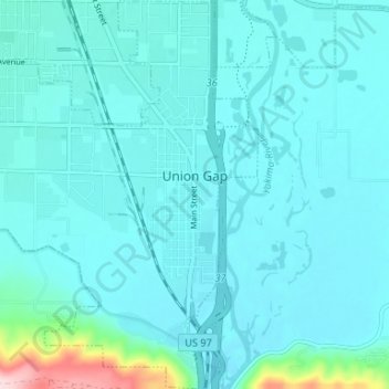
Union Gap topographic map
Interactive map
Click on the map to display elevation.
About this map
Name: Union Gap topographic map, elevation, terrain.
Location: Union Gap, Yakima County, Washington, United States (46.53238 -120.53032 46.57775 -120.46429)
Average elevation: 1,037 ft
Minimum elevation: 928 ft
Maximum elevation: 1,936 ft