
South Gorin topographic map
Interactive map
Click on the map to display elevation.
About this map
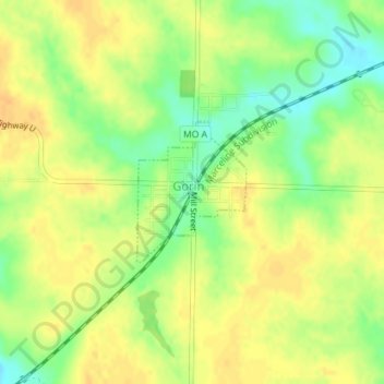
Name: South Gorin topographic map, elevation, terrain.
Location: South Gorin, Scotland County, Missouri, United States (40.35465 -92.02909 40.36453 -92.01902)
Average elevation: 741 ft
Minimum elevation: 679 ft
Maximum elevation: 781 ft