
Langgur topographic map
Interactive map
Click on the map to display elevation.
About this map
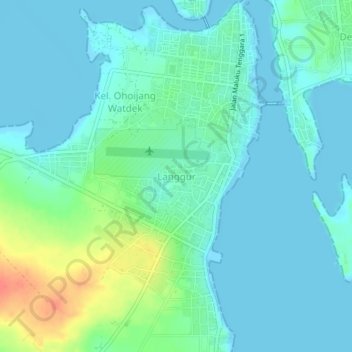
Name: Langgur topographic map, elevation, terrain.
Location: Langgur, Maluku, Indonesia (-5.68422 132.71374 -5.64422 132.75374)
Average elevation: 39 ft
Minimum elevation: -7 ft
Maximum elevation: 167 ft