
Clarks topographic map
Interactive map
Click on the map to display elevation.
About this map
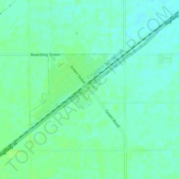
Name: Clarks topographic map, elevation, terrain.
Location: Clarks, Merrick County, Nebraska, United States of America (41.20946 -97.84789 41.22021 -97.82974)
Average elevation: 1,624 ft
Minimum elevation: 1,608 ft
Maximum elevation: 1,637 ft