
Cairo topographic map
Interactive map
Click on the map to display elevation.
About this map
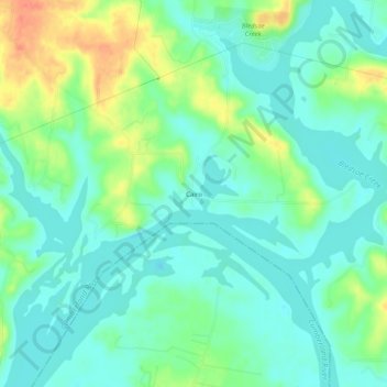
Name: Cairo topographic map, elevation, terrain.
Location: Cairo, Sumner County, Tennessee, United States (36.34088 -86.38360 36.38088 -86.34360)
Average elevation: 486 ft
Minimum elevation: 436 ft
Maximum elevation: 591 ft