
Lakeside topographic map
Interactive map
Click on the map to display elevation.
About this map
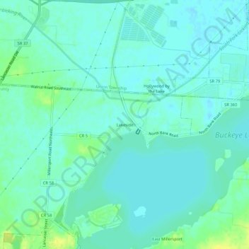
Name: Lakeside topographic map, elevation, terrain.
Location: Lakeside, Fairfield County, Ohio, 43046, United States (39.90201 -82.53766 39.94201 -82.49766)
Average elevation: 886 ft
Minimum elevation: 869 ft
Maximum elevation: 932 ft