
West Fork Courtney Creek topographic map
Interactive map
Click on the map to display elevation.
About this map
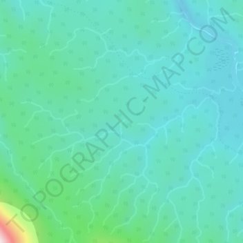
Name: West Fork Courtney Creek topographic map, elevation, terrain.
Average elevation: 3,143 ft
Minimum elevation: 2,854 ft
Maximum elevation: 4,567 ft