
Wa'atch topographic map
Interactive map
Click on the map to display elevation.
About this map
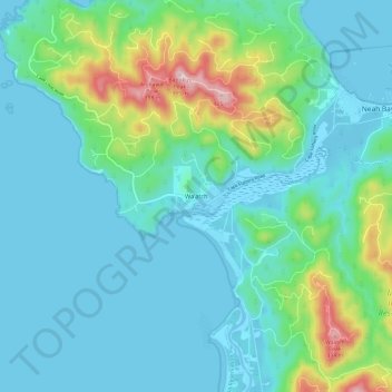
Name: Wa'atch topographic map, elevation, terrain.
Location: Wa'atch, Clallam County, Washington, United States (48.30743 -124.71145 48.38743 -124.63145)
Average elevation: 266 ft
Minimum elevation: -33 ft
Maximum elevation: 1,407 ft