
Caldwell topographic map
Interactive map
Click on the map to display elevation.
About this map
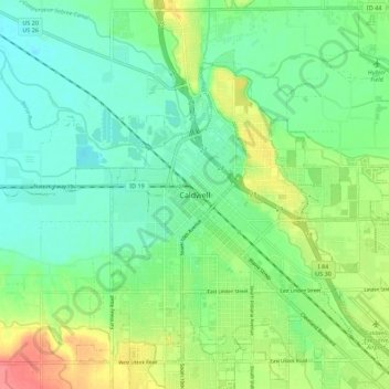
Name: Caldwell topographic map, elevation, terrain.
Location: Caldwell, Canyon County, Idaho, 83607, United States (43.62787 -116.72942 43.70787 -116.64942)
Average elevation: 2,392 ft
Minimum elevation: 2,316 ft
Maximum elevation: 2,546 ft