
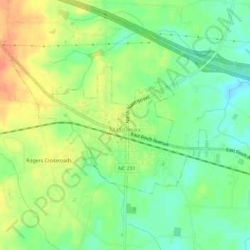
Middlesex topographic map
Interactive map
Click on the map to display elevation.
About this map
Name: Middlesex topographic map, elevation, terrain.
Location: Middlesex, Nash County, North Carolina, United States (35.78147 -78.22314 35.79998 -78.18168)
Average elevation: 249 ft
Minimum elevation: 180 ft
Maximum elevation: 335 ft