
Winslow topographic map
Interactive map
Click on the map to display elevation.
About this map
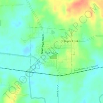
Name: Winslow topographic map, elevation, terrain.
Location: Winslow, Pike County, Indiana, 47598, United States (38.37615 -87.22073 38.38887 -87.20504)
Average elevation: 453 ft
Minimum elevation: 404 ft
Maximum elevation: 548 ft