
Oaktown topographic map
Interactive map
Click on the map to display elevation.
About this map
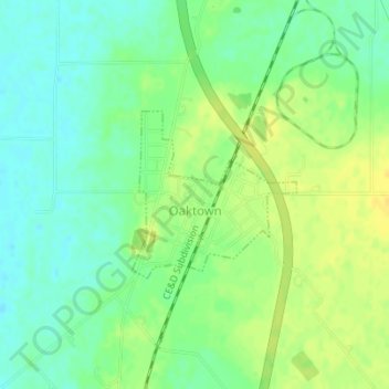
Name: Oaktown topographic map, elevation, terrain.
Location: Oaktown, Knox County, Indiana, United States (38.86643 -87.44702 38.87804 -87.43238)
Average elevation: 469 ft
Minimum elevation: 433 ft
Maximum elevation: 509 ft