
Sedgewick topographic map
Interactive map
Click on the map to display elevation.
About this map
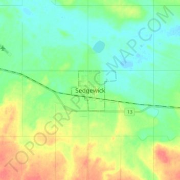
Name: Sedgewick topographic map, elevation, terrain.
Location: Sedgewick, Town of Sedgewick, Alberta, T0B 4C0, Canada (52.73646 -111.73540 52.81646 -111.65540)
Average elevation: 2,198 ft
Minimum elevation: 2,139 ft
Maximum elevation: 2,306 ft