
Greenville topographic map
Interactive map
Click on the map to display elevation.
About this map
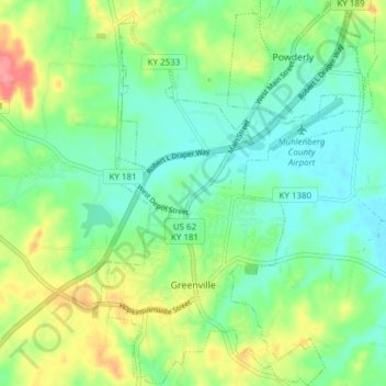
Name: Greenville topographic map, elevation, terrain.
Location: Greenville, Muhlenberg County, Kentucky, United States (37.18525 -87.19705 37.24582 -87.14253)
Average elevation: 489 ft
Minimum elevation: 397 ft
Maximum elevation: 669 ft