
Webster topographic map
Interactive map
Click on the map to display elevation.
About this map
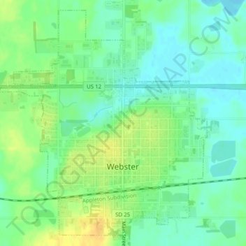
Name: Webster topographic map, elevation, terrain.
Location: Webster, Day County, South Dakota, 57274, United States (45.32458 -97.53929 45.34933 -97.50692)
Average elevation: 1,837 ft
Minimum elevation: 1,801 ft
Maximum elevation: 1,890 ft