
Monroeville topographic map
Interactive map
Click on the map to display elevation.
About this map
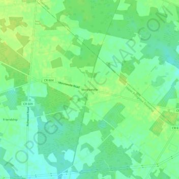
Name: Monroeville topographic map, elevation, terrain.
Location: Monroeville, Salem County, New Jersey, 08343, United States (39.60900 -75.17935 39.64900 -75.13935)
Average elevation: 131 ft
Minimum elevation: 105 ft
Maximum elevation: 154 ft