
Conesville topographic map
Interactive map
Click on the map to display elevation.
About this map
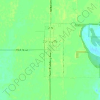
Name: Conesville topographic map, elevation, terrain.
Location: Conesville, Muscatine County, Iowa, United States (41.37238 -91.35223 41.38695 -91.34510)
Average elevation: 610 ft
Minimum elevation: 584 ft
Maximum elevation: 627 ft