
Aldine topographic map
Interactive map
Click on the map to display elevation.
About this map
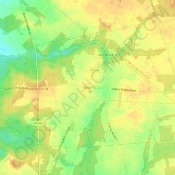
Name: Aldine topographic map, elevation, terrain.
Location: Aldine, Salem County, New Jersey, United States (39.54900 -75.29491 39.58900 -75.25491)
Average elevation: 112 ft
Minimum elevation: 43 ft
Maximum elevation: 148 ft