
Tomahawk topographic map
Interactive map
Click on the map to display elevation.
About this map
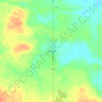
Name: Tomahawk topographic map, elevation, terrain.
Location: Tomahawk, Parkland County, Alberta, T0E 2B0, Canada (53.39312 -114.76689 53.40064 -114.76143)
Average elevation: 2,533 ft
Minimum elevation: 2,464 ft
Maximum elevation: 2,612 ft