
Kanawha topographic map
Interactive map
Click on the map to display elevation.
About this map
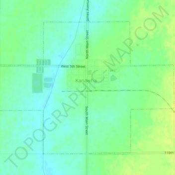
Name: Kanawha topographic map, elevation, terrain.
Location: Kanawha, Hancock County, Iowa, United States (42.92329 -93.81295 42.94515 -93.77350)
Average elevation: 1,181 ft
Minimum elevation: 1,155 ft
Maximum elevation: 1,207 ft