
N'Gaous topographic map
Interactive map
Click on the map to display elevation.
About this map
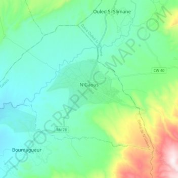
Name: N'Gaous topographic map, elevation, terrain.
Location: N'Gaous, N'Gaous district, Batna, 05600, Algeria (35.50267 5.50502 35.59991 5.67134)
Average elevation: 2,703 ft
Minimum elevation: 2,047 ft
Maximum elevation: 5,112 ft