
San Ysidro topographic map
Interactive map
Click on the map to display elevation.
About this map
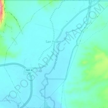
Name: San Ysidro topographic map, elevation, terrain.
Location: San Ysidro, Sandoval County, New Mexico, United States (35.54475 -106.78797 35.57525 -106.75870)
Average elevation: 5,512 ft
Minimum elevation: 5,446 ft
Maximum elevation: 5,915 ft