
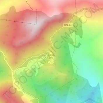
Tikjda topographic map
Interactive map
Click on the map to display elevation.
About this map
Name: Tikjda topographic map, elevation, terrain.
Location: Tikjda, El Asnam, Bechloul District, Bouira, Algeria (36.44923 4.12760 36.44933 4.12770)
Average elevation: 4,728 ft
Minimum elevation: 3,301 ft
Maximum elevation: 6,083 ft