
Powell topographic map
Interactive map
Click on the map to display elevation.
About this map
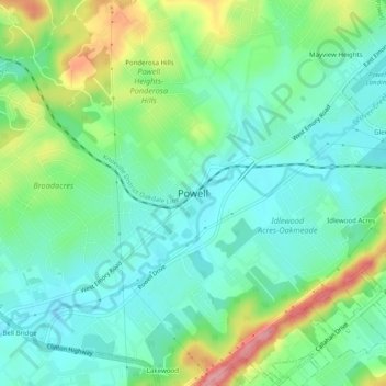
Name: Powell topographic map, elevation, terrain.
Location: Powell, Knox County, Tennessee, 37849, United States (36.01175 -84.04797 36.05175 -84.00797)
Average elevation: 1,073 ft
Minimum elevation: 958 ft
Maximum elevation: 1,339 ft