
Talsi topographic map
Interactive map
Click on the map to display elevation.
About this map
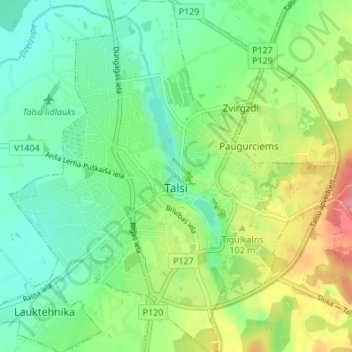
Name: Talsi topographic map, elevation, terrain.
Location: Talsi, Talsu novads, Courland, Latvia (57.22792 22.55375 57.26487 22.62180)
Average elevation: 269 ft
Minimum elevation: 167 ft
Maximum elevation: 463 ft