
Treadway topographic map
Interactive map
Click on the map to display elevation.
About this map
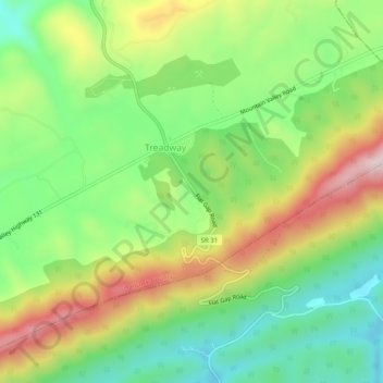
Name: Treadway topographic map, elevation, terrain.
Location: Treadway, Hancock County, Tennessee, 37881, United States (36.39870 -83.24434 36.43870 -83.20434)
Average elevation: 1,670 ft
Minimum elevation: 1,122 ft
Maximum elevation: 2,467 ft