
Mahakali River topographic map
Interactive map
Click on the map to display elevation.
About this map
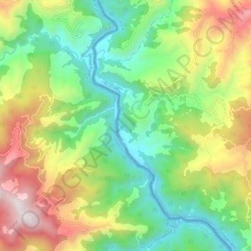
Name: Mahakali River topographic map, elevation, terrain.
Location: Mahakali River, Rupal, Bhageshwar, Dadeldhura, Nepal (29.31417 80.27108 29.38688 80.31691)
Average elevation: 3,018 ft
Minimum elevation: 1,250 ft
Maximum elevation: 5,965 ft