
Bachdjarah topographic map
Interactive map
Click on the map to display elevation.
About this map
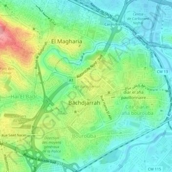
Name: Bachdjarah topographic map, elevation, terrain.
Location: Bachdjarah, El Harrach District, Algiers, Algeria (36.71381 3.09179 36.73225 3.13150)
Average elevation: 125 ft
Minimum elevation: -7 ft
Maximum elevation: 381 ft