
Medicine Hat topographic map
Interactive map
Click on the map to display elevation.
About this map
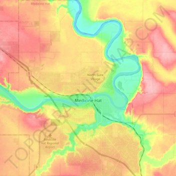
Name: Medicine Hat topographic map, elevation, terrain.
Location: Medicine Hat, Division No. 1, Alberta, Canada (49.98955 -110.80099 50.11358 -110.61751)
Average elevation: 2,323 ft
Minimum elevation: 2,113 ft
Maximum elevation: 2,487 ft