
Capitol Site topographic map
Interactive map
Click on the map to display elevation.
About this map
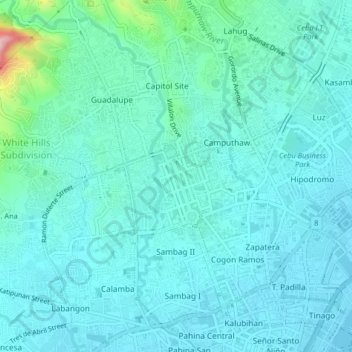
Name: Capitol Site topographic map, elevation, terrain.
Location: Capitol Site, Central Visayas, 6000, Philippines (10.29442 123.87127 10.33442 123.91127)
Average elevation: 115 ft
Minimum elevation: 0 ft
Maximum elevation: 804 ft