
Bad Salzungen topographic map
Interactive map
Click on the map to display elevation.
About this map
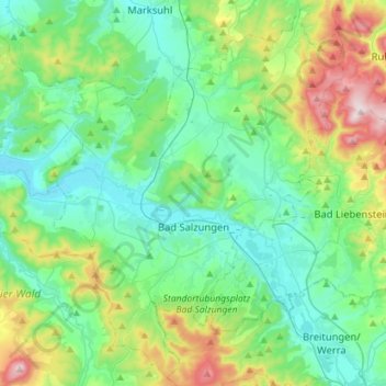
Name: Bad Salzungen topographic map, elevation, terrain.
Location: Bad Salzungen, Wartburgkreis, Thuringia, Germany (50.74188 10.05870 50.91356 10.34263)
Average elevation: 1,138 ft
Minimum elevation: 748 ft
Maximum elevation: 2,356 ft