
Redwing topographic map
Interactive map
Click on the map to display elevation.
About this map
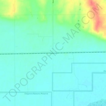
Name: Redwing topographic map, elevation, terrain.
Location: Redwing, Barton County, Kansas, United States (38.50196 -98.68452 38.54196 -98.64452)
Average elevation: 1,827 ft
Minimum elevation: 1,785 ft
Maximum elevation: 1,955 ft