
Caballo topographic map
Interactive map
Click on the map to display elevation.
About this map
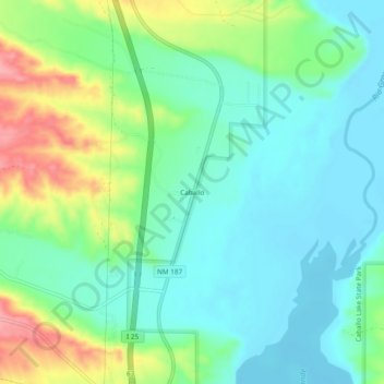
Name: Caballo topographic map, elevation, terrain.
Location: Caballo, Sierra County, New Mexico, 89731, United States (32.95575 -107.32791 32.99575 -107.28791)
Average elevation: 4,295 ft
Minimum elevation: 4,183 ft
Maximum elevation: 4,551 ft