
Lyons topographic map
Interactive map
Click on the map to display elevation.
About this map
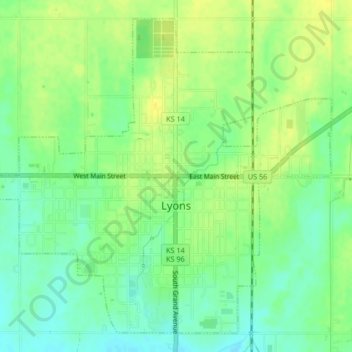
Name: Lyons topographic map, elevation, terrain.
Location: Lyons, Rice County, Kansas, United States (38.33315 -98.22488 38.36228 -98.18336)
Average elevation: 1,696 ft
Minimum elevation: 1,657 ft
Maximum elevation: 1,736 ft