
Waller Creek topographic map
Interactive map
Click on the map to display elevation.
About this map
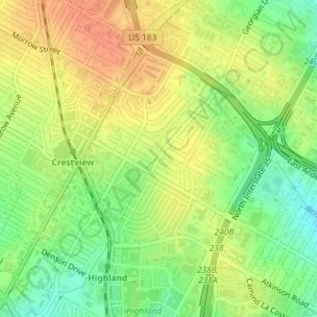
Name: Waller Creek topographic map, elevation, terrain.
Average elevation: 722 ft
Minimum elevation: 643 ft
Maximum elevation: 787 ft
Other topographic maps
Click on a map to view its topography, its elevation and its terrain.
Blunn Creek
United States > Texas > Austin
Blunn Creek, Sherwood Oaks, Austin, Travis County, Texas, 78704-5639, United States
Average elevation: 597 ft
Sunset Valley
United States > Texas > Austin > Sunset Valley
Sunset Valley, Austin, Travis County, Texas, 78745, United States
Average elevation: 682 ft