
Monte Rotella topographic map
Interactive map
Click on the map to display elevation.
About this map
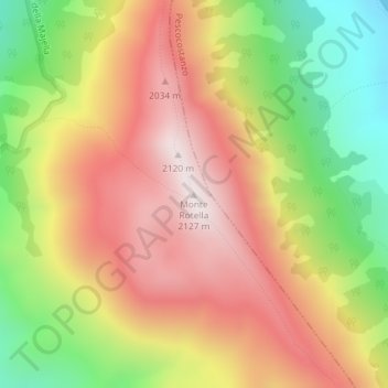
Name: Monte Rotella topographic map, elevation, terrain.
Location: Monte Rotella, Rocca Pia, L'Aquila, Abruzzo, Italy (41.92591 14.01055 41.92601 14.01065)
Average elevation: 5,712 ft
Minimum elevation: 4,249 ft
Maximum elevation: 6,965 ft