
Cornertown topographic map
Interactive map
Click on the map to display elevation.
About this map
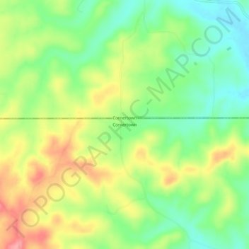
Name: Cornertown topographic map, elevation, terrain.
Location: Cornertown, Fulton County, Arkansas, United States (36.47812 -91.77848 36.51812 -91.73848)
Average elevation: 794 ft
Minimum elevation: 640 ft
Maximum elevation: 991 ft