
Ordona topographic map
Interactive map
Click on the map to display elevation.
About this map
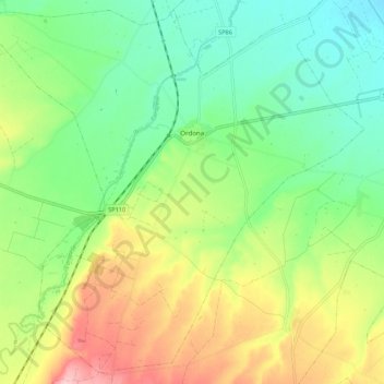
Name: Ordona topographic map, elevation, terrain.
Location: Ordona, Foggia, Apulia, Italy (41.26412 15.56765 41.34176 15.67605)
Average elevation: 417 ft
Minimum elevation: 217 ft
Maximum elevation: 745 ft