
Pearsall Park topographic map
Interactive map
Click on the map to display elevation.
About this map
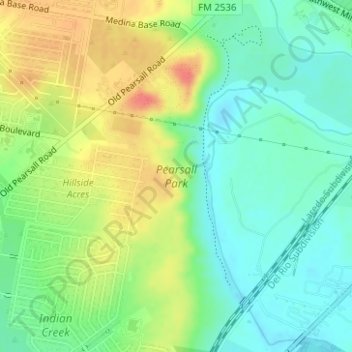
Name: Pearsall Park topographic map, elevation, terrain.
Average elevation: 676 ft
Minimum elevation: 600 ft
Maximum elevation: 784 ft
Other topographic maps
Click on a map to view its topography, its elevation and its terrain.
Hilltop
United States > Texas > San Antonio > Hilltop
Hilltop, San Antonio, Bexar County, Texas, United States
Average elevation: 561 ft