
Wolfpit topographic map
Interactive map
Click on the map to display elevation.
About this map
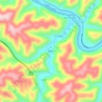
Name: Wolfpit topographic map, elevation, terrain.
Location: Wolfpit, Pike County, Kentucky, 41559, United States (37.33288 -82.44293 37.37288 -82.40293)
Average elevation: 1,175 ft
Minimum elevation: 676 ft
Maximum elevation: 1,716 ft