
X. Nghi Liên topographic map
Interactive map
Click on the map to display elevation.
About this map
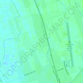
Name: X. Nghi Liên topographic map, elevation, terrain.
Location: X. Nghi Liên, Vinh, Nghe An province, Vietnam (18.71911 105.63625 18.75911 105.67625)
Average elevation: 20 ft
Minimum elevation: 7 ft
Maximum elevation: 30 ft