
Lorida topographic map
Interactive map
Click on the map to display elevation.
About this map
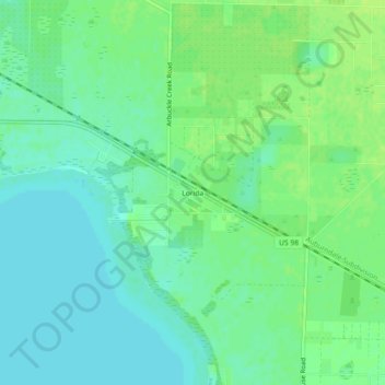
Name: Lorida topographic map, elevation, terrain.
Location: Lorida, Highlands County, Florida, United States (27.42337 -81.27368 27.46337 -81.23368)
Average elevation: 52 ft
Minimum elevation: 30 ft
Maximum elevation: 72 ft