
Holden topographic map
Interactive map
Click on the map to display elevation.
About this map
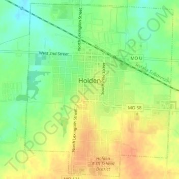
Name: Holden topographic map, elevation, terrain.
Location: Holden, Johnson County, Missouri, United States (38.69966 -94.00389 38.72583 -93.97518)
Average elevation: 860 ft
Minimum elevation: 794 ft
Maximum elevation: 919 ft