
Blue Mound topographic map
Interactive map
Click on the map to display elevation.
About this map
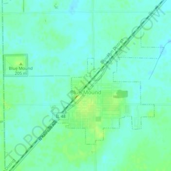
Name: Blue Mound topographic map, elevation, terrain.
Location: Blue Mound, Macon County, Illinois, United States (39.69292 -89.13001 39.71138 -89.10703)
Average elevation: 617 ft
Minimum elevation: 597 ft
Maximum elevation: 643 ft