
Plain topographic map
Interactive map
Click on the map to display elevation.
About this map
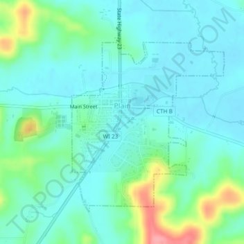
Name: Plain topographic map, elevation, terrain.
Location: Plain, Sauk County, Wisconsin, United States (43.26798 -90.05143 43.28608 -90.02824)
Average elevation: 860 ft
Minimum elevation: 787 ft
Maximum elevation: 1,112 ft