
Climax topographic map
Interactive map
Click on the map to display elevation.
About this map
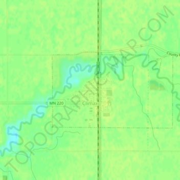
Name: Climax topographic map, elevation, terrain.
Location: Climax, Polk County, Minnesota, 56523, United States (47.60400 -96.82550 47.61542 -96.79862)
Average elevation: 863 ft
Minimum elevation: 830 ft
Maximum elevation: 876 ft