
Belding topographic map
Interactive map
Click on the map to display elevation.
About this map
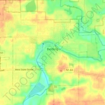
Name: Belding topographic map, elevation, terrain.
Location: Belding, Ionia County, Michigan, United States (43.07656 -85.26249 43.11595 -85.19959)
Average elevation: 810 ft
Minimum elevation: 732 ft
Maximum elevation: 876 ft