
Flat Creek topographic map
Interactive map
Click on the map to display elevation.
About this map
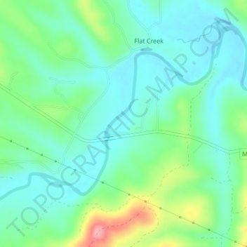
Name: Flat Creek topographic map, elevation, terrain.
Location: Flat Creek, Barry County, Missouri, United States (36.74466 -93.62227 36.76012 -93.60933)
Average elevation: 1,066 ft
Minimum elevation: 961 ft
Maximum elevation: 1,358 ft