
Mount Crested Butte topographic map
Interactive map
Click on the map to display elevation.
About this map
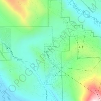
Name: Mount Crested Butte topographic map, elevation, terrain.
Average elevation: 9,675 ft
Minimum elevation: 8,868 ft
Maximum elevation: 11,913 ft