
Area E (Chilliwack River Valley) topographic map
Interactive map
Click on the map to display elevation.
About this map
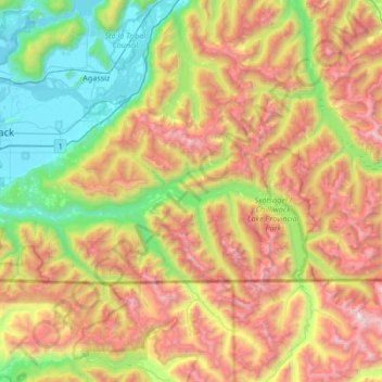
Name: Area E (Chilliwack River Valley) topographic map, elevation, terrain.
Average elevation: 3,386 ft
Minimum elevation: 13 ft
Maximum elevation: 8,671 ft